Applied Systems AIRMON™
Aerial Monitoring for America's Critical Infrastructure
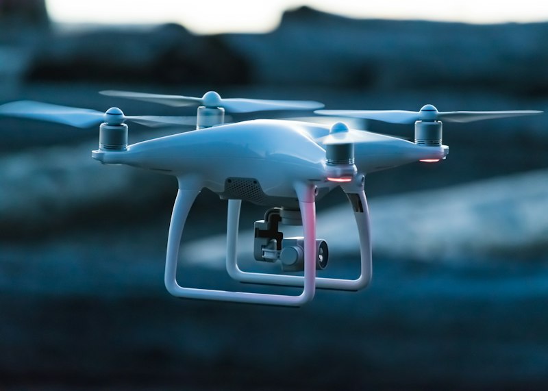
360° facility capture, drone-enabled inspection, jobsite progress monitoring, and aerial intelligence integrated with our ILI™ platform and Supervisory Mesh™ network. From powerline inspection to FEMA disaster response: visual intelligence from every angle, coordinated below.
Core Capabilities
Eyes in the Sky. Intelligence on the Ground.
Powerline Inspection
Comprehensive aerial inspection of transmission and distribution lines with thermal imaging, vegetation encroachment detection, and structural assessment.
- Thermal anomaly detection
- Vegetation management
- Pole & conductor analysis
- Right-of-way mapping
360° Facility Intelligence
Ground-based 360° capture and aerial rooftop equipment mapping, envelope inspection, and structural monitoring for federal and commercial facilities.
- 360° interior/exterior capture
- HVAC asset mapping
- Roof condition assessment
- Insurance & compliance documentation
Disaster Response
Rapid damage assessment and coordination support for FEMA-aligned recovery operations across multi-county regions.
- Storm damage assessment
- Flood mapping
- Infrastructure triage
- Recovery documentation
Jobsite Progress Monitoring
Real-time aerial monitoring of construction progress, site conditions, and milestone verification for federal projects.
- Progress tracking
- Site documentation
- Safety monitoring
- As-built verification
Integrated Intelligence
Not Just Drones.
A Complete Monitoring System.
Applied Systems AIRMON™ isn't a standalone service. It is fully integrated with our ILI™ platform, Supervisory Mesh™ field network, and AI analysis engines to deliver actionable infrastructure intelligence.
Supervisory Mesh™ Integration
AIRMON™ data feeds directly into our field supervision network for real-time coordination.
ILI™ Data Layer
Aerial intelligence enriches Infrastructure Lifecycle Intelligence documentation and asset records.
AI Analysis Engine
Machine learning models process imagery for automated defect detection and trending analysis.
Compliance Documentation
Audit-ready reports generated automatically for federal and FEMA compliance requirements.
4K+
Resolution
RTK
GPS Precision
AI
Analysis